5* Tourism Awards for Herefordshire holiday park group
Two holiday parks in north Herefordshire, have both received 5* ratings from Visit England, the country’s national tourist board.

Clare Fischer
Editor
Two holiday parks in north Herefordshire, have both received 5* ratings from Visit England, the country’s national tourist board.
Clare Fischer
Editor
Arrow Bank Country Holiday Park on the outskirts of Eardisland, and Pearl Lake Country Holiday Park in Shobdon were visited by Visit England inspectors in early July and received the highest accolade.
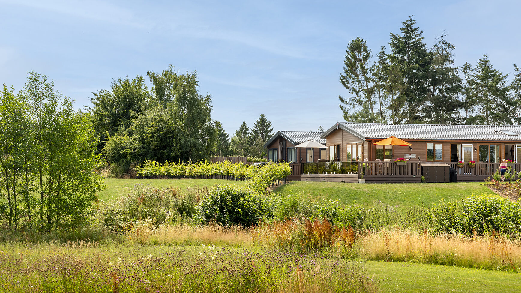
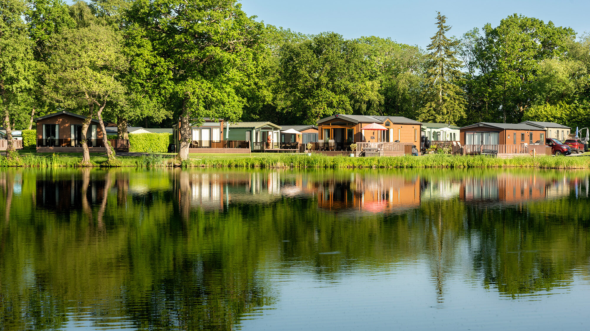
Arrow Bank and Pearl Lake, both owned by Discover Parks, performed highly across a number of criteria. The parks were judged on cleanliness, reception services, grounds, holiday homes and seasonal touring, recreational and washing facilities.
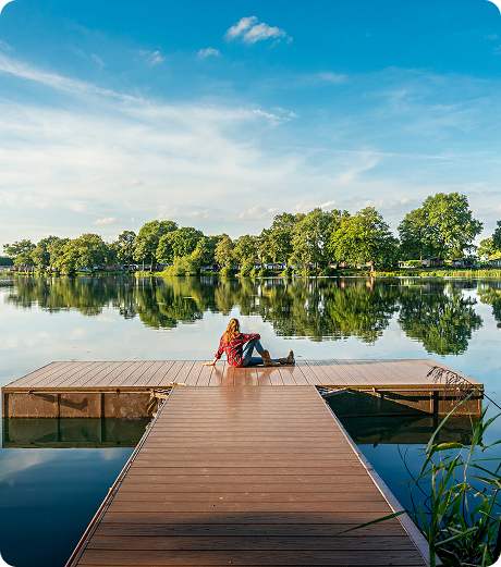
Arrow Bank (above)was singled out for its riverside setting, sunflower fields and excellent maintenance of grounds and foliage. Its dog washing facilities and modern accommodation was also highlighted.
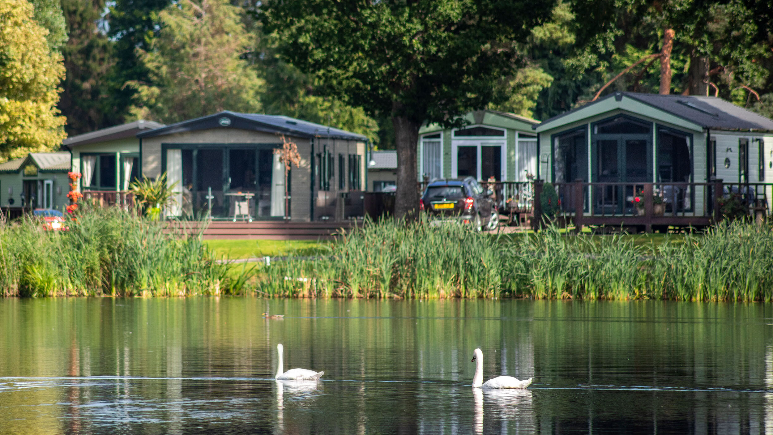
Pearl Lake (above) received accolades for its beautiful landscaping, woodland walks, on site bar and restaurant and modern holiday homes
Discover Parks Owner Glenn Jones said the 5* ratings recognise the hard work of the team across all aspects of the business: “Running holiday parks means we all have to perform at 100% all of the time. Our grounds teams, housekeeping staff, reception team and backroom staff work incredibly hard to keep the parks looking amazing. With holiday home owners and the thousands of guests who visit us, we’re always under scrutiny”
Glenn also said that these 5* ratings are great news for Herefordshire: “The more tourism businesses that receive this top rating, the more it helps organisations like Visit Herefordshire, attract people to the county. So, although the award is for our parks, I believe they’re vital kudos for the whole county.”
Discover Parks also owns Rockbridge Country Holiday Park near Presteigne which has a 5* rating form Visit Wales.
Jan 2026
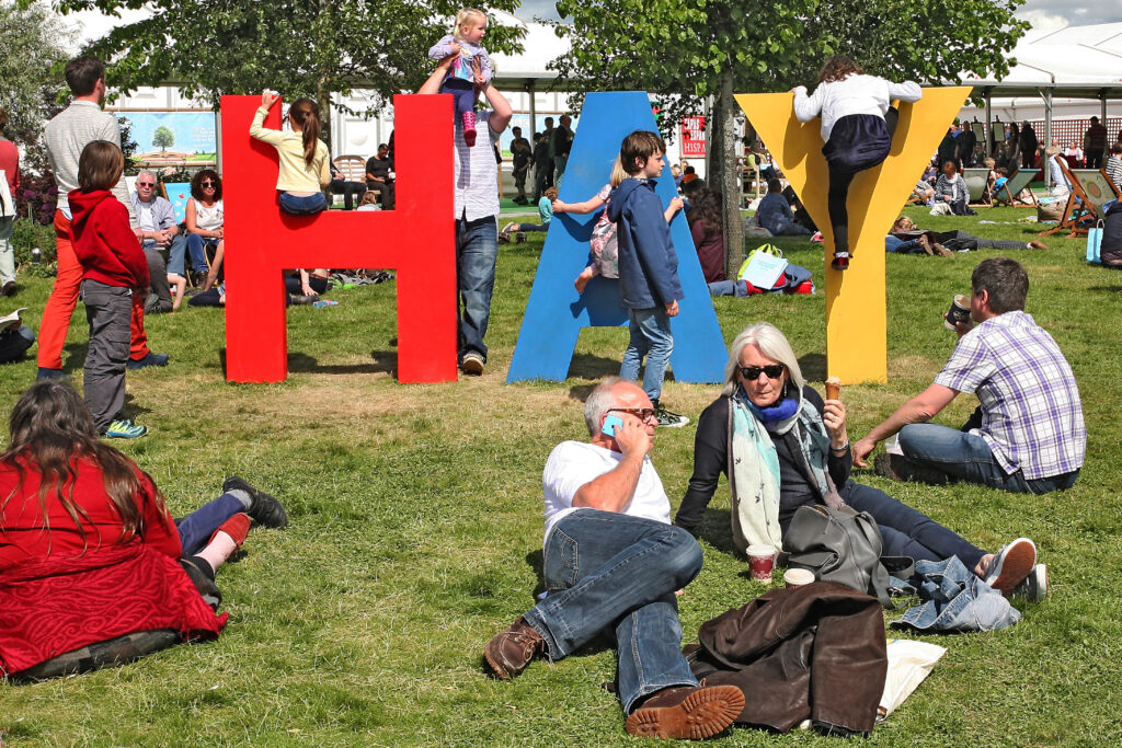
Everyone should visit Hay Festival at least once in their lives. Celebrities, books, live talks, workshops, quirky stalls and great food are all set...
Read more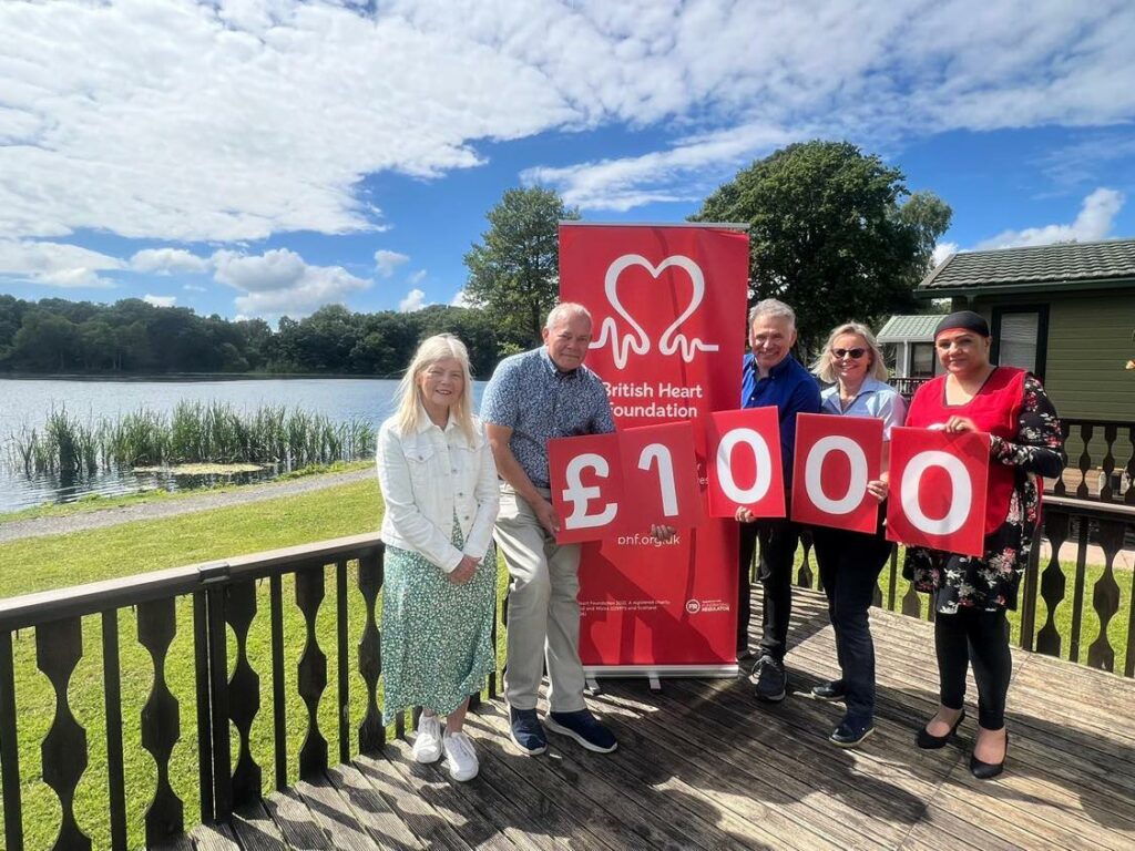
Jun 2024
The British Heart Foundation, is June's chosen charity marking Glenn & Hannah's Silver Anniversary pledge. Nominated by holiday home...
Read more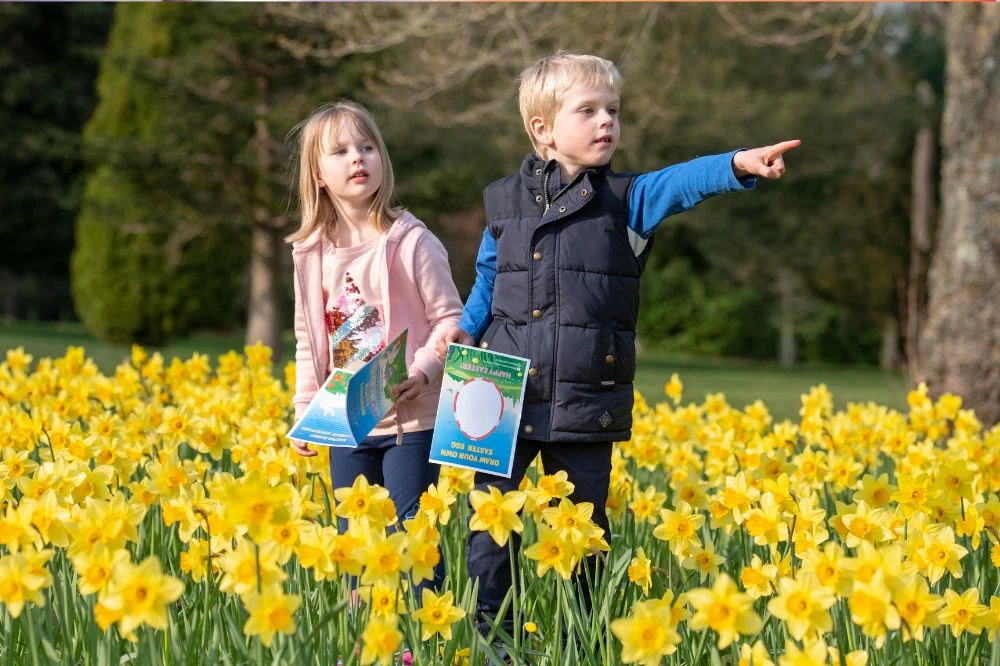
Mar 2026
April 2026 kicks off with Easter! But across Herefordshire there’s more to the month than eggs and bunnies. Discover What’s on in Herefordshire in April with our handy guide. Herefordshire...
Read more